


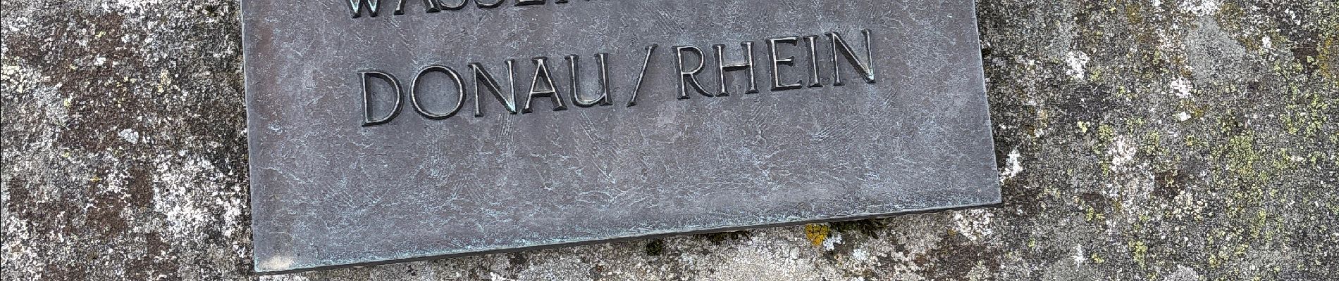
La source du Danube

BrigitteBertrand
User
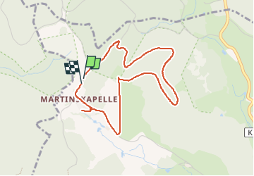

Length
4 km

Max alt
1119 m

Uphill gradient
102 m
Km-Effort
5.4 km

Min alt
1063 m

Downhill gradient
104 m
Boucle
Yes
Creation date :
2025-05-27 12:39:32.0
Updated on :
2025-05-27 15:29:51.918
1h22
Difficulty : Easy

FREE GPS app for hiking
 SityTrail
IGN / Geographical institutes
SityTrail Plus
The world is yours!
About
Trail Walking of 4 km to be discovered at Baden-Württemberg, Schwarzwald-Baar-Kreis, Furtwangen im Schwarzwald. This trail is proposed by BrigitteBertrand.
Description
Petite balade tranquille
Photos


Positioning
Country:
Germany
Region :
Baden-Württemberg
Department/Province :
Schwarzwald-Baar-Kreis
Municipality :
Furtwangen im Schwarzwald
Location:
Unknown
Start:(Dec)
Start:(UTM)
437108 ; 5327540 (32U) N.
Comments